Map component - RIBASIM
Map component
4 February 2021
RIBASIM is map oriented. A flexible modelling environment has been designed in which the modelling system is made independent of the user’s choice of Geographic Information Systems (GIS). It is centred around the network editor: Netter, the Delft-GIS tool. This tool provides the user with features which are not available under conventional GIS software and which are needed to carry out a basin analysis:
-
Map viewer.
-
Interactive design of a river basin network schematization consisting of nodes and links.
-
Editing of attribute data of each node and link.
-
Fast visualisation of spatial and temporal data on maps.
-
Presentation of data in form of various types of graphs.
-
Animation of time series data.
-
Optimised processing of very long time series with high speed.

RIBASIM network schematization of the Rhine River basin (Europe)

Model data entry of the Rhine River basin model

Interactive crop plan editor of the Rhine River basin model: table format

Interactive crop plan editor of the Rhine River basin model: graphical format
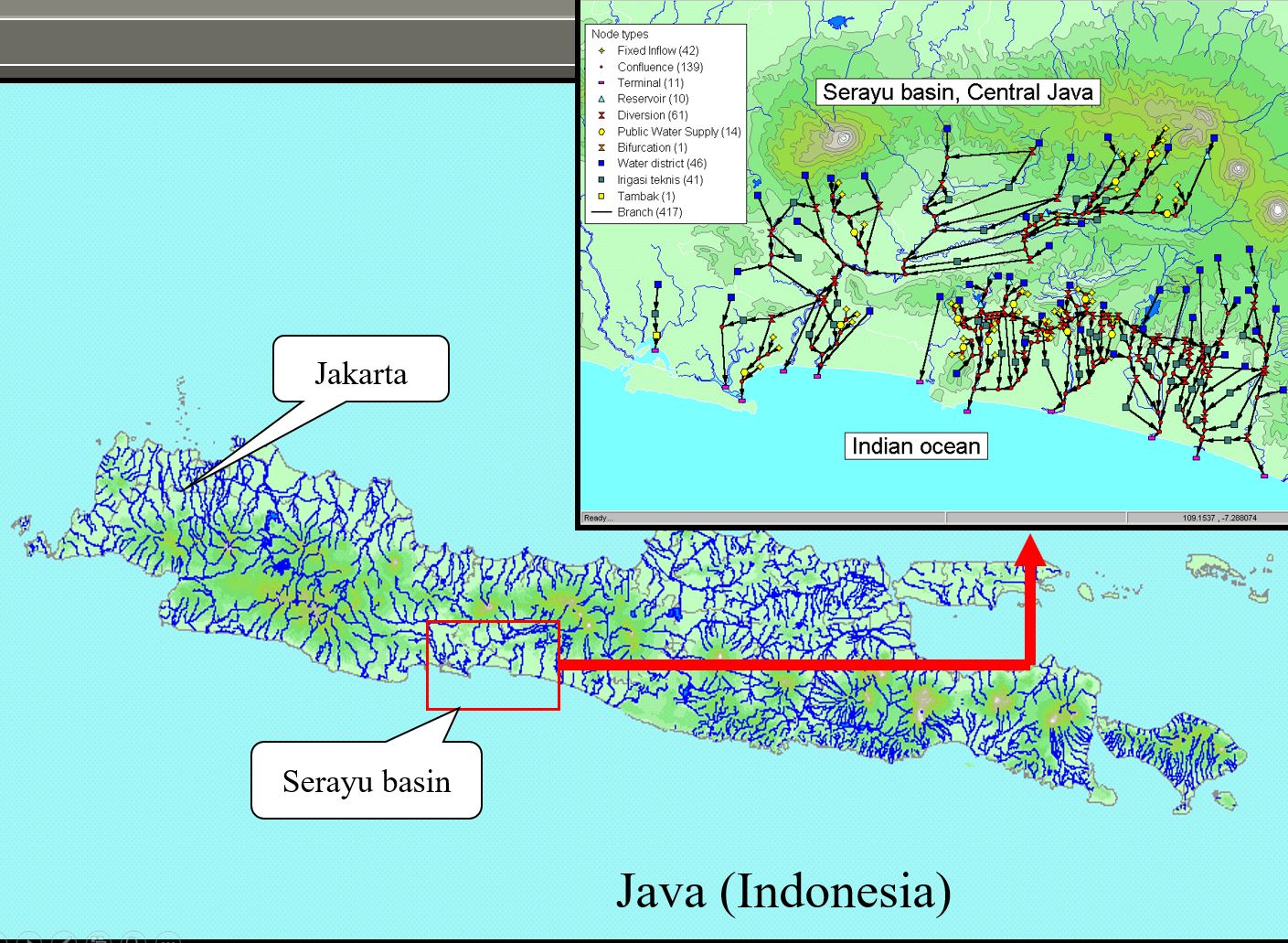
RIBASIM network schematization of 6 river basins in West Java (Indonesia)
RIBASIM network schematization of Nile River basin (Africa)


